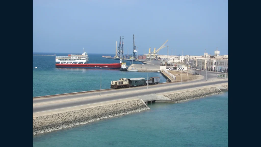

Massawa's position on the Red Sea is a strategic fact. The business case depends on measurable cargo, services, costs and reliability.
Massawa faces a maritime corridor linking the Gulf, the Red Sea and Suez. That geography invites ambitious claims about trade, tourism and regional connectivity. But a port is an operating system, not a dot on a map. Shippers need berth and handling information, schedules, predictable clearance, warehousing, inland transport and a workable payment process. Investors need current figures and counterparties. Publishing those facts would make Massawa's commercial case stronger.
The Port Questions
How many vessels call, and what cargo do they carry? What equipment is working? What are berth limits, storage conditions, charges and turnaround times? Which services run regularly? EBJ will distinguish published specifications from current operating capacity. If reliable data is unavailable, that gap is itself a business finding: a company cannot quote a route confidently from old brochure figures.